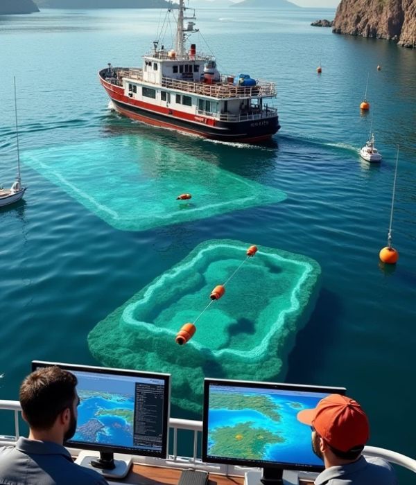
Hydrographic Survey Solution
Maritime Navigation:
Ensure safe navigation by mapping the seafloor and detecting hazards such as rocks, shipwrecks, or sandbars. Update nautical charts used by ships and boats.
Port and Harbor Development:
Assess water depth and seabed conditions to design and maintain docks, piers, and shipping lanes.
Coastal Zone Management:
Monitor coastal erosion, sediment movement, and changes in shoreline. Support flood modeling and storm surge predictions.
Offshore Engineering:
Assist in planning and constructing underwater infrastructure such as oil rigs, pipelines, and wind farms.
Environmental Studies:
Map seabed habitats and monitor marine ecosystems to assess environmental impact and biodiversity.
